The Hornád river
The Hornád river (Hernád) is a major tributary of the Slaná river (Sajó); it flows through Slovakia and Hungary. It flows from the eastern slopes of Kráľova Hoľa, southwest of the village Vikartovce at an altitude of 1,050 meters. This river, attractive for tourists and fishermen, stretches 286 km. Course length of the Hornád in Slovakia is 193 km, of which about 145 km is navigable. From the source it flows like a stream and gradually increases its wateriness with its tributaries. It flows through the Slovak Paradise National Park, where she created a beautiful canyon, which is called the Hornád Canyon. At the confluence of the Hornád river with the Hnilec river water dam Ružín was built. After the dam it continues eastward through Veľká and Malá Lodina and underneath the beautiful sights from Jánošíkova bastion. It turns south near Kysak, flows through Kosice, Nižná Myšľa, Ždaňa. Its journey through our territory ends in beautiful meanders by the village Trstené pri Hornáde. It flows into the river Slaná (Sajó) south of the Hungarian town Ónod.
Upper stream of the river
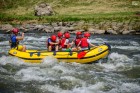
River kilometer: 147.5 - 135.3, Hrabušice - Čingov
Difficulty: WW II- (suitable for more experienced paddlers who have already paddled something)
Navigable: 60cm at the water gauge in Hrabušice, in spring or after rain
Suitable for boats: raft, closed canoe, kayak
Paddling time: 3-4 hours
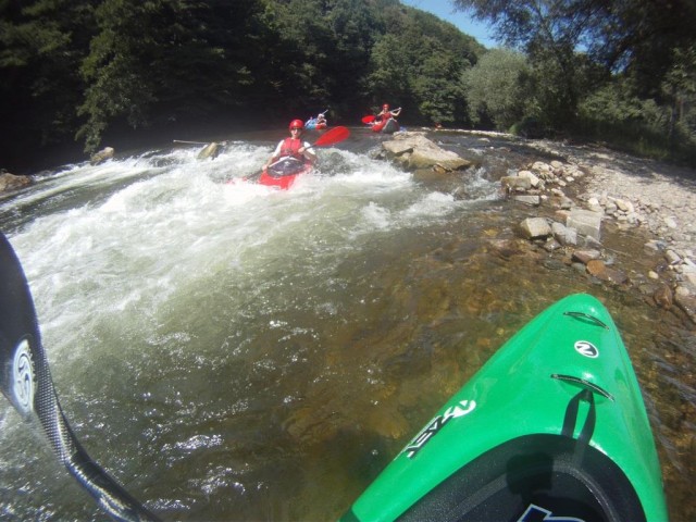
Canoeing the section of the Hornád canyon, located in the Slovak Paradise National Park, is permitted only under specified conditions! From a paddler´s and a landscape point of view it is the most interesting section, it starts in Hrabušice with meanders with a nice view of the surrounding countryside and the Tatras. After a few kilometers the Hornád flows through a narrow canyon with vertical walls as high as 250 meters, the width of the riverbed is around 5-10 meters. After about three kilometers, the canyon opens up and the river is surrounded by meadows on which it is possible to land. A stream of water in the canyon often pushes the carved rocks on the outer corners of the curves.
Hornád canyon (Called Prielom Hornádu or Hornád Gorge)
Put-in point: Hrabušické Mýto
Put-out: Čingov (under cottage Ihla)
Put-outs (not accessible by car): Hrdlo Hornádu (emergency put-out, if somebody has troubles with canoeing, we recommend to end the trip here), Letanovský mlyn (good place to have a break, during summer season there is a snack bar opened; in case you need to end here, it is neccessary to walk through forest cca. 1km to the road where you can come by car from Letanovce)
Canoeing schedule: from 1st May to 31st October (if the National Park does not tell otherwise). Canoeing is permitted only if there is water level between 70cm and 110cm at Hrabušice - Mýto gauge (can be checked on website www.shmu.sk).
You need to have permit bought from National park rangers (it costs 10€/person and includes insurance in case of rescue by Mountain Rescue Service)! Number of permits is limmited to 70 per day, it is permitted only to paddle down the river on one or two seated boats (kayaks, canoe, paddleboards).
It is forbidden to put-out on other then specified places! More information (unfortunately only in Slovak language) can be found at http://www.sopsr.sk/slov-raj/aktualita.php?id=5
Illegal canoeing or breaking these rules might be charged up to 66€ by rangers.
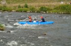
Middle stream of the river
River kilometer: 135.3 - 80.2, Čingov - Margecany
Difficulty: WW I- (suitable also for beginners with minimum experience at least)
Navigable: year-round (55cm at the water gauge in Hrabušice or 145cm at the water gauge in Spišské Vlachy)
Suitable for boats: open canoe, raft, kayak
Paddling time: 2-3 days
Under Čingov the valley opens up and the river Hornád flows into broad Hornád basin. It flows through Spisska Nova Ves, Krompachy and the section terminates in water dam Ružín built at the confluence with the river Hnilec. Before Košiarny Briežok (approx. 500 meters before the road bridge) there is an old weir, which is already destroyed by water and in high water level (HWL) dangerous, but it is possible to bring over the boats on the left bank, at the left bank there is also boat pass, which is navigable in normal water level. Road bridge on Košiarny Briežok can be a boarding place. In Spišská Nová Ves river channel is regulated; first weirs appear in Smižany; at the beginning of Spišská Nová Ves there is a greater weir, where boats need to be brought over along the right bank (before the dam there is a footbridge, a place to stop is approximately 50 m to the footbridge, the passage to be carried forward is 100m). What follows are smaller leaps that are navigable in normal water level, at the hockey hall there are two bigger leaps where boats need to be brought over in case of HWL (available on the right and left bank). Later, the river meanders between the villages of Vítkovce and Markušovce, and there are also several smaller leaps. Between Kolinovce and Krompachy after a railway bridge small dam is located, where boats should be brought over. Before Margecany there is a newly built small dam, which is also not navigable. The last few meters the river is almost standing and flows into the dam Ruzin.
Water dam Ružín
River kilometer: 80.2 - 66.5
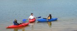
Difficulty: ZWA (standing water, suitable for beginners)
Suitable for boats: open canoe, kayak
Paddling time: 1 - 1,5 day
The water dam built on the river Hornád between 1963 and 1970. The pumping plant is an assembly of two water projects Ružín I. and Ružín II. At the beginning of the dam, after Margecany on the left bank there is a camp where you can pass the night. In the first larger pound lock boats can be brought over along the right bank (the passage length is approx. 700 meters to the road bridge); in the second one along the left bank, where there are stairs built under the dam wall, leading to the river (the passage length is approx. 400m).
Lower stream of the river
River kilometer: 66.5 - 0.0 (down to Hungarian borders)
Difficulty: ZWC (gently flowing water, section suitable for beginners)
Navigable: year-round, water level influenced by operations on the dam Ružín
Suitable for boats: open canoe, kayak
Paddling time: 2 days to the borders
In Malá Lodina it is possible to start paddling by a road bridge through the river Hornád, in Veľká Lodina also by a road bridge near U starej mamky pub, in Kysak near playground, In Družstevná pri Hornáde by a road bridge and Čarda restaurant. In Košice the canoe trip can be terminated in Anička. This section is attractive mainly because of the countryside.
In Družstevná pri Hornáde there is a small dam where boats need to be brought over along the right bank; the dam is marked with signboards. In Košice there are 2 barriers and a couple of smaller fixed weirs that can be dangerous in high water level. Small water-power plant on Anička and in a neighborhood unit Nad jazerom are not navigable, can be passed along banks. Below Košice there are smaller fixed weirs not navigable in low water level and possibly dangerous in high water level. In Ždaňa by a road bridge there is a new small dam built that is also not navigable. In high water level and after floods the river-basin tends to be blocked by fallen trees.
Starting near Slovak-Hungarian borders the Hornád river creates enjoyable meanders.
Tributaries attractive for paddlers
the Hnilec river: right-bank tributary, enters water dam Ružín
the Torysa river: left-bank tributary near Nižná Myšľa
Map
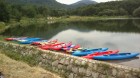
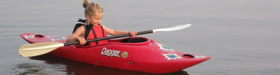
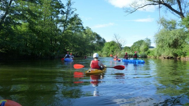
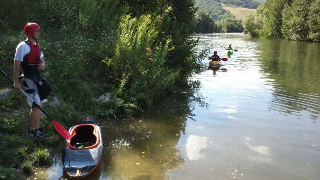
Gallery
 |  |  |
 en
en